
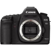
Canon EOS 5D Mark II
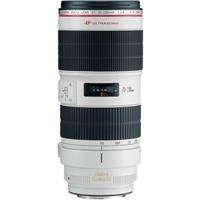
Canon EF 70-200mm f/2.8L IS II USM Lens
Skyline Divide Mountain Layers

@michaelmatti
Plan
Overview
Skill level
Difficult
Accessbility
Public Location
Hours
Anytime
Fee
$5 day use fee or free with an America the Beautiful Pass or Northwest Forest Pass.
Pack
- Telephoto lens (144mm)
- Food
- Water
- Layers
- Sunscreen
- Tent and camping gear for overnight stay
How to get there
N48° 50' 13.614"W121° 51' 13.2804"
This image was taken about 3.3 miles down the Skyline Divide trail in Washington, looking onto the mountain layers and sunrise. In total, from the parking lot to this lookout spot, it's about 3.3 miles with 2,200 feet of elevation gain.
To reach the trailhead for this hike, head out on Mount Baker Highway (SR-542) to the town of Glacier.
While driving through Glacier, look for FR-39 (Glacier Creek Road) on your right. Immediately after turning onto FR-39, make a left onto FR-37 and follow the signs to the Skyline Divide Trail. Continue for about 13 miles down this road until you reach the trailhead (48.880904, -121.864656).
Note: the section of road leading up to the trail is full of potholes, so proceed with caution.
Follow the signs for the trail, and as you start hiking, you'll gain a good amount of elevation when you make your way about 1.8 miles to the ridge and split. At the split, go right. This particular shot was taken about 1.5 miles down the trail from the split.
Tips
Get more with
explorest pro
Learn more about the locations and
how to get the best pictures including:
Best times to go
Current weather conditions and times around twilight
Field tips
Gear used & photo settings
What to do nearby

Locations nearby


