
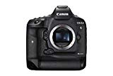
Canon EOS-1DX Mark II
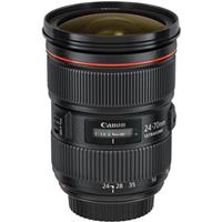
Canon EF 24-70mm f/2.8L II USM Lens
Abiqua Falls & Dog
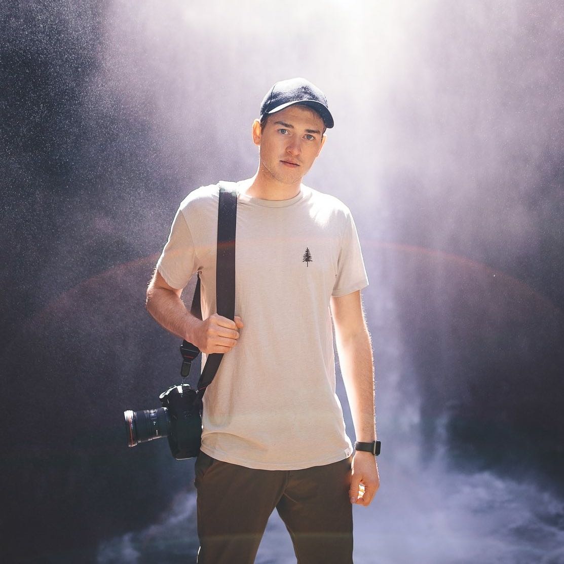
@andrewstuder
Plan
Overview
Skill level
Professional
Accessbility
Public Location
Hours
Anytime
Fee
Free
Pack
- Wide-angle lens (24mm)
- Tripod
- Polarizing filter
- Lens blower
- Sturdy boots
- Water
How to get there
N44° 55' 35.7528"W122° 34' 01.632"
This photo was taken of Abiqua Falls. To get here, reference the driving directions below to find the parking area off Cooked Finger Rd and CF-300. Please note that the road is very rough — there are some extremely large rough rocks sticking up from the ground, so a high clearance vehicle or something with 4-wheel drive is preferred. Many people feel uncomfortable driving down this road in their passenger cars, although it can be done safely at very slow speeds.
Once you've parked, turn around and walk back down the road, about 100 feet past the parking area to find the trailhead. The trailhead isn't marked, but you'll see a small trail leading downhill. The trail can be quite steep at times — there are ropes for assistance, but take it slow and be careful, especially after a rain.
Follow the trail about a quarter of a mile down to Abiqua Creek. Once you've reached the creek, follow the trail upstream and to the left for another quarter of a mile, hugging the shoreline as you hike. You'll likely have to climb over some logs and debris that wash up from the river, but staying close to the water's edge is the ideal route.
Once you round the corner, you'll be standing at the edge of the basin with Abiqua Falls in front of you. To achieve the perspective of my image, I positioned my camera low to the ground facing the waterfall.
Directions from Portland:
- Drive I-5 south for 16.9 miles
- Take exit 282A toward Canby/Hubbard
- Take Portland-Hubbard Hwy for 1.1 miles
- Turn left onto Arndt Rd
- Turn right on S Barlow Rd
- Turn left onto S Sconce Rd
- Turn right onto Canby-Marquam Hwy. Continue for 1.9 miles until it turns into S Kropf Rd
- Stay on S Kropf Rd for 4.2 miles
- Turn right onto OR-213 South and immediately turn left onto S Nowlens Bridge Rd
- Turn left onto Cooked Finger Rd. NE.
- Drive 9.5 miles until the pavement ends, then drive another 1.4 miles on gravel to a poorly marked gravel road on the right. There's a sign on a tree here marking this as road CF-300, but it's nearly illegible. Turn right onto CF-300.
- Continue down this rough road slowly for 2.5 miles to a locked gate and a wide turnout on the left.
- You can park here but there is only enough room for about 5-7 cars. If there is no parking, you can park at one of the many turnouts along the road.
Tips
Get more with
explorest pro
Learn more about the locations and
how to get the best pictures including:
Best times to go
Current weather conditions and times around twilight
Field tips
Gear used & photo settings
What to do nearby

Locations nearby


