

Sony Alpha 7R II
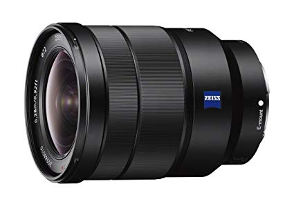
Sony FE 16-35mm f/4 Vario-Tessar T ZA OSS Lens
Lake Eibsee Stone Cliff, Braxeninse & Zugspitze

@mareikeann
Plan
Overview
Skill level
Moderate
Accessbility
Public Location
Hours
Anytime (parking available 5AM-10PM)
Fee
Free
Pack
- Wide-angle lens (21mm)
- Model
- Comfortable shoes
- Jacket
- Towel
- Bathing suit
How to get there
N47° 27' 36.0504"E10° 58' 34.6908"
This image was taken in front of a cliff along Lake Eibsee with a view of Braxeninsel & Zugspitze mountain in the background. There isn't a guided path to get to this particular vantage point, so reference the following GPS coordinates to guide you along the path. It will take you about 30 minutes to complete the trail hike.
Start by parking at the lot of the Eibsee-Hotel (47.457736, 10.991698) then head south on Am Eibsee toward Eibseestraße. Once you reach Eibseestraße, take a left. Follow the path toward Eibsee Runwig (go over the bridge) until you get to the GPS coordinates: 47.4620457, 10.9772193.
Continue around the shore along the trail until you get to the next GPS coordinates: 47.4611902, 10.9769665. From there, you can walk to the final spot where I stood to get this view of the lake, island and mountain — and you should see the rock a model can stand on.
Tips
Get more with
explorest pro
Learn more about the locations and
how to get the best pictures including:
Best times to go
Current weather conditions and times around twilight
Field tips
Gear used & photo settings
What to do nearby

Locations nearby


