
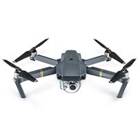
DJI Mavic Pro
Built-in Lens
Tsing Sha Highway & Stonecutters Bridge
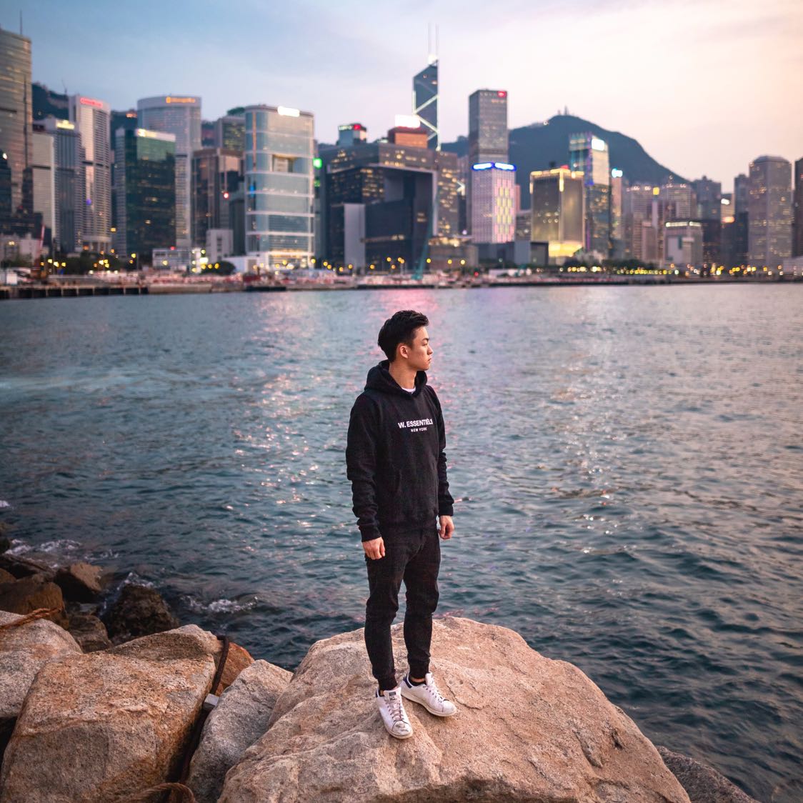
@timothyma
Plan
Overview
Skill level
Easy
Accessbility
Public Location
Hours
Anytime
Fee
Free
Pack
- Drone
- Jacket
How to get there
N22° 19' 42.3408"E114° 06' 52.6493"
The featured image is of Stonecutters Bridge looking onto Stonecutters Island. I was standing below the bridge on the Tsing Yi Island and I took my drone off at the end of Tsing Sheung Road. The circular intersections will be behind you, so you'll have to fly the drone northwest to get them into your frame.
I recommend taking a car or an uber since there aren’t a lot of options for walking. Have the car drop you off on Tsing Sheung road and proceed to walk east toward the open space near the water.
Tips
Get more with
explorest pro
Learn more about the locations and
how to get the best pictures including:
Best times to go
Current weather conditions and times around twilight
Field tips
Gear used & photo settings
What to do nearby

Locations nearby


